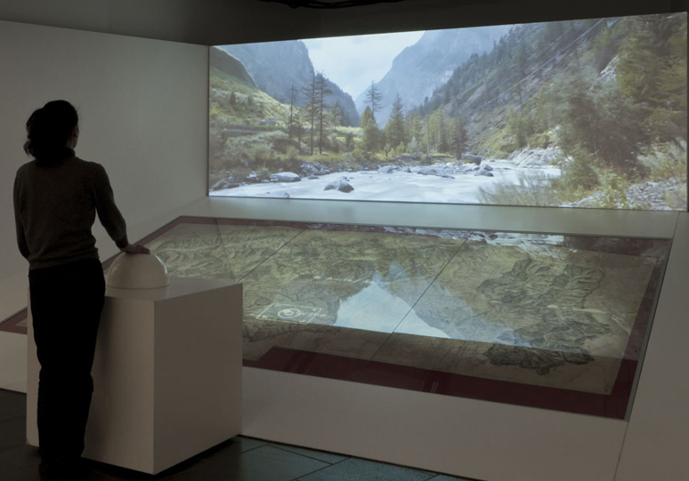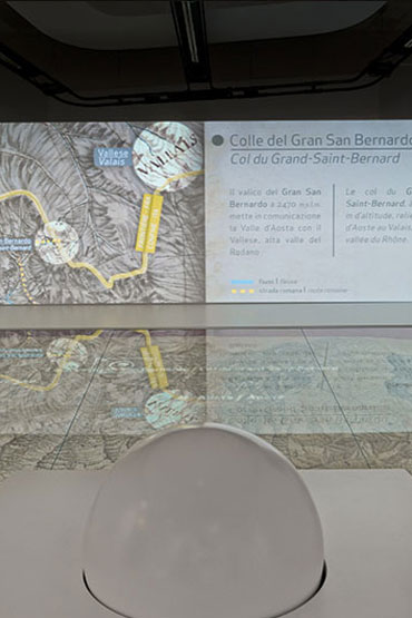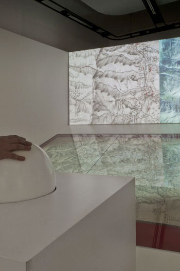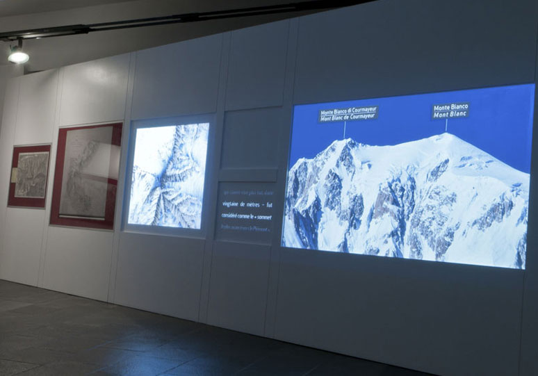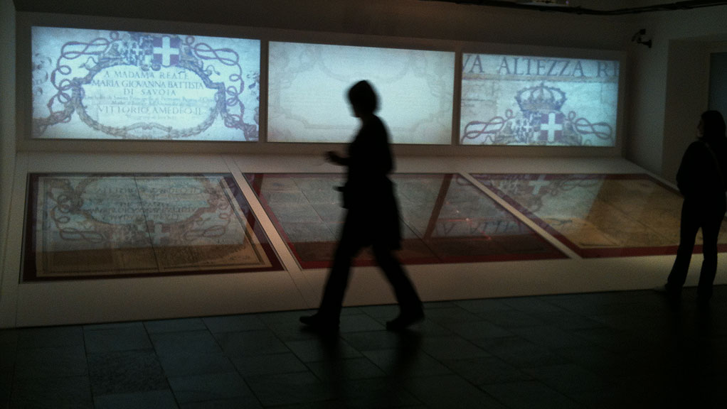
The exhibition displays a part of the wealth of maps produced by the State of Savoy for administrative, military and fiscal purposes between the XVII and XIX centuries.
The multimedia installations in the exhibition, facilitate their interpretation. Two synchronised video montages open and close the journey: the first dedicated to the precious prints of Borgonio and Stagnone, the second recounting the delicate issue of the Italian-French border near the summit of Mont Blanc.
An interactive installation enables viewers to explore a precious map of the Valley in detail, comparing it with present day aerial photos and view shots specifically taken for capturing its charming panoramas and majestic mountains.
I have collaborated with N!03 Studio on the realization of the video and the animations for the entire exhibition.
